Mokpo Namhang Counting data per location
2008
2009
2010
Click on a button to show the graph for the selected month
2009
2010
Click on a button to show the graph for the selected month
The graph above shows how many individuals used the four different parts (P1-P4) of the site for the period between January 2008 and July 2010.
The pie-chart below shows how the four parts of the site are used by birds / groups of waterbirds.

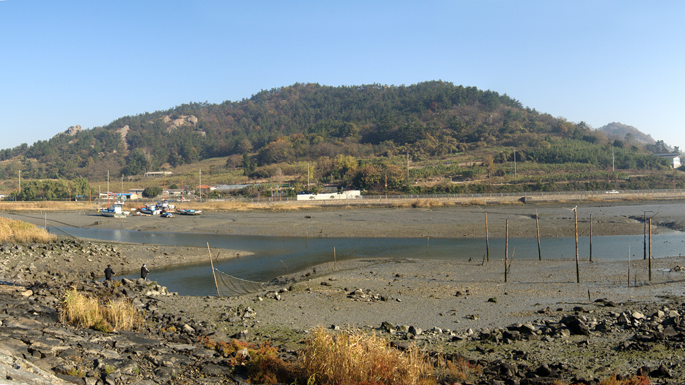
For monitoring the site was divided into four parts:
P1: natural tidal area
P2: wall enclosed lagoon, delayed tidal
P3: wall enclosed lagoon, water level regulated
P4: reed-bed, end of barraged stream
P1: natural tidal area
P2: wall enclosed lagoon, delayed tidal
P3: wall enclosed lagoon, water level regulated
P4: reed-bed, end of barraged stream
The pie-charts below show how the four parts of the site are
used by four different groups of waterbirds:
used by four different groups of waterbirds:
██ GU: Gulls ██ SB: Shorebirds ██ WF: Waterfowl ██ HE: Heron/Egret